1500 to 1070 BC

Pharaonic period

Egypt and the societies of the Middle Nile valley have a long and complex history of contact and interaction, which can be demonstrated from the Stone Age onwards. The Egyptians were interested in a wide range of resources which originated from Nubia or passed through it from areas further south. E.g. they quarried hard rock in the Libyan Desert for sculptures from as early as the Old Kingdom (c. 2700–2200 BC). The exploitation of the gold deposits in the Eastern Desert has been proven from the Middle Kingdom (c. 2040–1750 BC) onwards, but may also be older.

Egypt's political agenda towards the south was directed towards eliminating any threat to their economic interests and their national security that might arise from increasingly mighty neighbours. By the time of the early Middle Kingdom the Egyptians perceived the Kingdom of Kerma, known to them as Kush, to pose such a threat. Consequently, they secured the Lower Nubian Nile valley, between Aswan and the Second Cataract with a chain of 17 fortresses. In the following centuries, the dealings with Kush grew and waned with the political power of Egypt at the time.

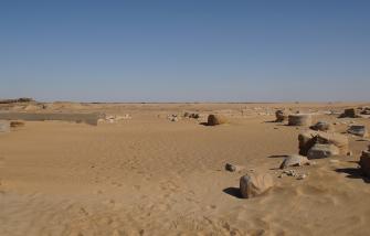
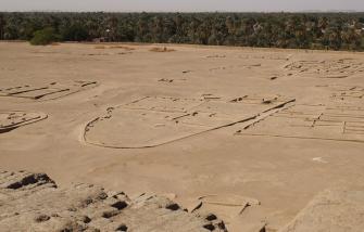
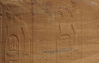
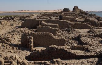
At the onset of the New Kingdom, about 1500 BC, the Egyptians finally set out to conquer Kush. After a series of military campaigns they destroyed the capital at Kerma and built a large fortified settlement with a temple near the Bronze Age town. In the subsequent centuries, the Egyptians founded further towns and temples up to Jebel Barkal, the holy mountain below the Fourth Nile Cataract, which they considered to be an abode of their state god Amun. The offical border of Egyptian control was at the Hajar al-Merwa, above the Great Nile Bend.

Pharaonic rule over the Middle Nile valley lasted until the end of the New Kingdom (c. 1070 BC), when Egypt became too weak to keep up its control and administration due to troubles back home. Some Egyptian towns and temples continued to function into the subsequent Napatan period, or were reactivated in this era.


300,000 to 5000 BC

Old and Middle Stone Age

5000 to 2500 BC

New Stone Age

2500 to 1500 BC

Kerma period

1500 to 1070 BC

Pharaonic period

900 to 300 BC

Napatan period

300 BC to 350 AD

Meroitic period

350 to 600 AD

Post-Meroitic period

600 to 1500 AD

Medieval period

1500 to 1880 AD

Islamic period

1881 to 1898 AD

Mahdiya

1898 to 1956 AD

Anglo-Egyptian rule

Locations of interest:

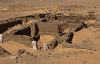
Amara West

Amara West is a town site about 100 kilometres south of the Second Cataract. It was founded under Pharaoh Seti I and served as the administrative centre of the southern part of the Nubian province in the later New Kingdom. Read more ...

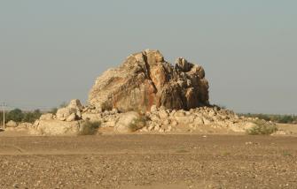
Hajar al-Merwa

Hajar al-Merwa is a huge quartzite outcrop just above the Great Nile Bend. It carries the famous boundary inscriptions of Thutmose I and Thutmose III which mark the southernmost extension of Pharaonic Egypt. Read more ...

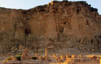
Jebel Barkal

The UNESCO World Heritage site of Jebel Barkal is situated some 350 km north of Khartoum. It features some of the most important archaeological monuments of Sudan and is a key site of the Napatan period. Read more ...

Jebel Dosha

Jebel Dosha is a picturesque sandstone promontory right beside the Nile, between Soleb and Sedeinga. It features a rock-cut chapel of Pharaoh Thutmose III and several rock inscriptions of New Kingdom date. Read more ...

Kawa

Kawa liegt zwischen dem Dritten und Vierten Katarakt auf dem Ostufer des Nil, gegenüber der moderen Stadt Dongola. Das wichtigste Monument des Fundplatzes ist ein großer Amuntempel, der unter dem kuschitischen Herrscher Taharqo errichtet wurde. Weiterlesen ...

Kerma

Kerma, at the southern end of the Third Cataract, was the centre of the major Bronze Age culture in the Middle Nile valley. The site comprises an urban agglomeration, a vast cemetery and a Pharaonic town. Read more ...

Nauri

Nauri is a modern village situated in the downstream section of the Third Cataract. The site is of historical interest mainly because of the so-called Nauri Decree of Seti I. Read more ...

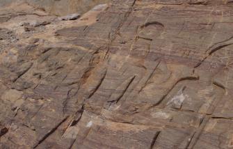
Sabu

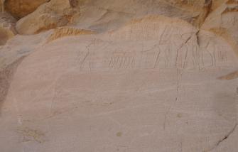
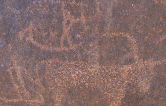
Sabu is Sudan's largest rock art site. It is situated at the downstream end of the Third Cataract. Reportedly, Sabu comprises more than 1600 drawings from different periods. Read more ...

Sai Island

Sai Island is situated between the Second and Third Nile Cataracts. It has a very long and rich occupational history, with sites of the Kerma, Pharaonic, medieval and Islamic periods. Read more ...

Sedeinga

Sedeinga is located 13 kilometres north of Soleb, on the west bank of the Nile. Its main monument is a temple built by Amenhotep III, dedicated to Queen Tiye as a manifestation of the Eye of Ra. Read more ...

Sesebi

Sesebi is a New Kingdom town below the Third Cataract. Much of the extant town, including two temple complexes, derives from the reign of Amenhotep IV, before he changed his name to Akhenaten. Read more ...

Shalfak

Shalfak is an Egyptian fortress on an island in the Second Cataract area. It was built under Senusret III. It is one of a chain of 17 fortresses with which the Middle Kingdom pharaohs secured Egypt's southern frontier. Read more ... 

Soleb

Soleb is situated about 60 kilometres north of the Third Cataract. Its main monument is a large temple erected under Pharaoh Amenhotep III. It was dedicated to Amun-Ra and the deified king. Read more ...

Tombos

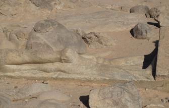
Tombos is the name of a series of sites on the east bank of the Nile in the area of the Third Cataract. They include numerous rock inscriptions, a New Kingdom cemetery and a quarry with an unfinished Napatan statue. Read more ...

Uronarti

Uronarti is an Egyptian fortress on an island in the Second Cataract area. It was built under Senusret III. It is one of a chain of 17 fortresses with which the Middle Kingdom pharaohs secured Egypt's southern frontier. Read more ...